- Montreuil-en-Caux
-
Montreuil-en-Caux
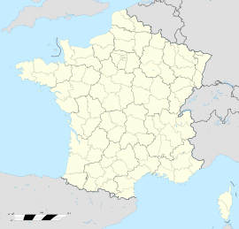
 Montreuil-en-CauxLocation within Upper Normandy region
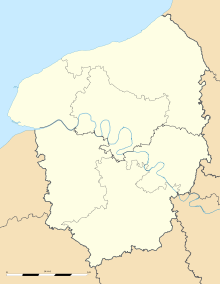 Montreuil-en-Caux
Administration Country France Region Upper Normandy Department Seine-Maritime Arrondissement Dieppe Canton Tôtes Intercommunality Trois Rivières Mayor Victor Boucher Statistics Elevation 124–174 m (407–571 ft)
(avg. 145 m/476 ft)Land area1 9.4 km2 (3.6 sq mi) Population2 439 (2006) - Density 47 /km2 (120 /sq mi) INSEE/Postal code 76449/ 76850 1 French Land Register data, which excludes lakes, ponds, glaciers > 1 km² (0.386 sq mi or 247 acres) and river estuaries. 2 Population without double counting: residents of multiple communes (e.g., students and military personnel) only counted once. Coordinates: 49°40′47″N 1°08′58″E / 49.6797222222°N 1.14944444444°E
Montreuil-en-Caux is a commune in the Seine-Maritime department in the Haute-Normandie region in northern France.
Contents
Geography
A farming village situated in the Pays de Caux, some 20 miles (32 km) south of Dieppe at the junction of the D99, D96, D100 and the D929 roads.
Population
Population history 1962 1968 1975 1982 1990 1999 2006 404 411 349 367 357 380 439 Starting in 1962: Population without duplicates Places of interest
- The church of St. Antoine and St. Sulpice, dating from the thirteenth century.
- Parts of an ancient château (now a farmhouse).
- The manorhouse of Hautot-Mesnil .
See also
References
External links
Categories:- Communes of Seine-Maritime
- Dieppe geography stubs


Wikimedia Foundation. 2010.