- Cliff Bungalow, Calgary
-
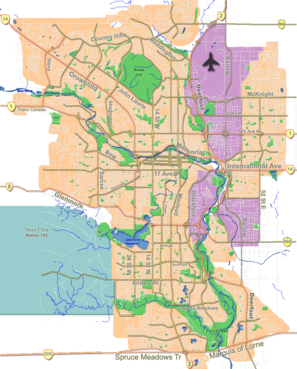
Cliff Bungalow — Neighbourhood — Welcome sign Location of Cliff Bungalow in Calgary

Coordinates: 51°02′00″N 114°04′27″W / 51.0333333°N 114.07417°W Country  Canada
Province  Alberta
City  Calgary
Quadrant SW Ward 8 Established 1907 Annexed 1906 Government[1] – Administrative body Calgary City Council – Alderman John Mar Area – Total 0.3 km2 (0.1 sq mi) Elevation 1,050 m (3,445 ft) Population (2006)[2] – Total 2,049 – Average Income $35,576 Website Cliff Bungalow Community Association Cliff Bungalow is an inner city residential neighbourhood in the south-west quadrant of Calgary, Alberta. Centered along 5 Street SW, it is bordered by Elbow River to the south, by Uptown 17th Avenue to the north and by Fourth Street to the east.
Cliff Bungalow was developed on land owned by the Canadian Pacific Railway in the 1870s. It was mainly populated by CPR employees, due to the convenient distance from the district to CPR headquarters and railyards.[3] The area was gradually annexed to the City of Calgary between 1906 and 1912. Cliff Bungalow was established in 1907 although the name "Cliff Bungalow" would not be applied until the 1970s.[4] It was re-zoned in 1935 to allow for denser residential buildings.
It is represented in the Calgary City Council by Ward 8 Alderman John Mar.[5] The community has an area redevelopment plan in place.[6]
Contents
Demographics
In 2006 the neighbourhood had a population of 2,049.[7] Residents in this community had a median household income of $35,576 in 2000, and there were 23.9% low income residents living in the neighborhood.[1] As of 2000, 21.4% of the residents were immigrants. A proportion of 88.2% of the buildings were condominiums or apartments, and 80.3% of the housing was used for renting.[2]
Education
The community is served by Western Canada High School.
See also
References
- ^ a b City of Calgary (2004). "Ward 8 Profile". http://www.calgary.ca/docgallery/bu/cns/community_social_statistics/ward_8_profile.pdf. Retrieved 2007-05-11.
- ^ a b City of Calgary (2006). "Cliff Bungalow Community Statistics". http://www.calgary.ca/docgallery/bu/cns/community_social_statistics/cliff_bungalow.pdf. Retrieved 2007-05-11.
- ^ Smart Calgary Homes. "The C.P.R.'s Influence on Calgary Neighbourhoods". http://www.smartcalgaryhomes.com/blog/the-cprs-influence-on-calgary-neighbourhoods.html. Retrieved 2010-09-22.
- ^ Smart Calgary Homes. "The C.P.R.'s Influence on Calgary Neighbourhoods". http://www.smartcalgaryhomes.com/blog/the-cprs-influence-on-calgary-neighbourhoods.html. Retrieved 2010-09-22.
- ^ Federation of Calgary Communities. "Cliff Bungalow Community". http://www.calgaryarea.com/sw/cliffbung/cliffbung.htm. Retrieved 2007-05-11.
- ^ City of Calgary Planning (2005). "Cliff Bungalow Area Redevelopment Plan". Archived from the original on 2007-09-30. http://web.archive.org/web/20070930205601/http://www.calgary.ca/docgallery/bu/planning/pdf/cliff_bungalow_arp/cliff_bungalow_arp.pdf. Retrieved 2007-05-11.
- ^ City of Calgary (2006). "Community Population Comparison". http://www.calgary.ca/DocGallery/BU/cityclerks/popcomparisonbycomm.pdf. Retrieved 2007-05-11.
External links

Beltline (Connaught) Beltline (Midtown) Beltline (Victoria Park) Mount Royal 
Mission  Cliff Bungalow

Elbow Park Elbow River Roxboro Coordinates: 51°02′00″N 114°04′27″W / 51.0333333°N 114.07417°W
Categories:- Neighbourhoods in Calgary
- Calgary stubs

Wikimedia Foundation. 2010.